Mervare demoThis is a Mervare demo profile, not the harbour’s official service. Berth layouts, availability and booking are sample data, not confirmed operational information.
The story behind this place
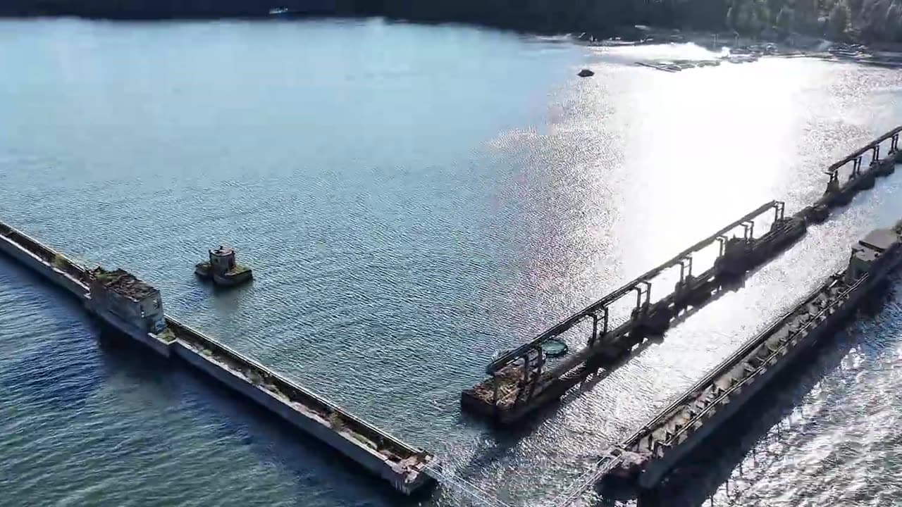
Rauno of Pirate’s Eye filmed Hara’s former submarine base and marina. Watch the full film here. This Mervare profile is a product demo, not an official harbour service.
Hara Marina — full film
Suggest a video for this harbor
Add a 3–30 second video file or a YouTube link. Videos are reviewed before publication; a suitable short clip may become the page hero.
Explore the coast
This Hara profile demonstrates Mervare. It does not confirm current harbour operations, services or berth availability; contact the operator independently before planning a visit.
Explore Baltic harbours on the map →Some sailing-direction excerpts below are still in the original Estonian. They are source quotations, not translated navigation advice; consult the linked official publication and current notices before sailing.
At a glance
- 3 mPermitted draughtpilot book
- 57 mMaximum lengthregister
- 4 mMaximum beamregister
- 4.3 mQuay depthregister
- 1. mai - 30. septemberNavigation periodregister
- laeva ümberpaigutamine on lubatud üksnes sadamakapteni teenistuse loal
- 12 m/stuule kiirusel üle 12 m/s
- 50 mnähtavusel alla 50 m
Services
- Shore power
- Shower
- WC
- Café
- Fuel
- Waste
- Slipway
- Parking
- Bike hire
Harbour surroundings
Not for navigation. See every harbour on the map.
Sailing directions
Based on a published sailing directions guideLaevade üheaegsel sisse- ja väljasõidul kehtib sadamast väljuva laeva eesõigus, v.a. juhul kui tegu on hädaolukorraga laev peab liikuma minimaalse kiirusega, kuid mitte kiiremini kui 3 sõlme, ahtrilaine ei tohi tekkida. Vessel movements: laeva ümberpaigutamine on lubatud üksnes sadamakapteni teenistuse loal. Entry and departure ban: tuule kiirusel üle 12 m/s; nähtavusel alla 50 m.[2]
Use together with an up-to-date nautical chart and navigational warnings.
Depths and dimensional restrictions
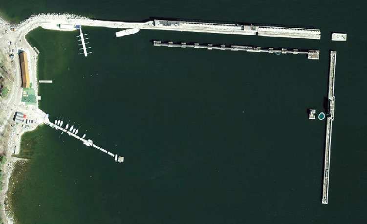
The maximum permitted draught is 3.0 m. Published depths alongside range from 0.3 m to 4.3 m — shallowest at quay 1A, deepest at quay 8. Depths are referenced to EH2000.[2]
Depths quay by quay (10)
| quay 8 | 4.3 m |
|---|---|
| quay 6 and 7 | 4.0 m |
| quay 5 | 3.5 m |
| quay 4 | 3.0 m |
| quay 3 | 2.5 m |
| quay 2 | 1.8 m |
| quay 9 | 1.3 m |
| quay 1B | 0.6 m |
| quay 1A | 0.3 m |
Sources
- Sailing directions Lootsiraamat 4.3 — Kaberneeme poolsaarest Narva jõeni
- Sailing directions Lootsiraamat 4.3 — Kaberneeme poolsaarest Narva jõeni
Published 12 Sept 2026 · revision 4
Data: port register, record updated 31 Dec 2025.
Webcams
We do not have a webcam for this harbour yet.
Visitor observations
Sailors' experiences, not the harbour's official information.
Practical details and harbour documents
- Address
- Harju maakond, Kuusalu vald, Hara küla, Hara sadam, 74810
- Navigation period
- 1. mai - 30. september
- Harbour master
- Tarvi Velström
- Position
- 59.58810° N, 25.61240° E
- Phone
- +37256900433
- info@harasadam.ee
- Website
- harasadam.ee
All services in the register
Veesõiduki sildumise võimaldamine · Veeliikluse korraldamine akvatooriumil ja sissesõiduteel · Kütus · Parkla · Slipi kasutamise võimaldamine · WC · Muu · Pesemisvõimaluste pakkumine · Elekter · Jalgrataste laenutamine · Kohvik/Restoran · Prügivastuvõtt · Veesõidukite laenutamine
Nearest harbours
Tallinn bay, Paldiski, Naissaar and Aegna, plus the western half of Lahemaa out to Kolga and Hara. Short legs and most services open year-round. All harbours in Harju county and Tallinn →